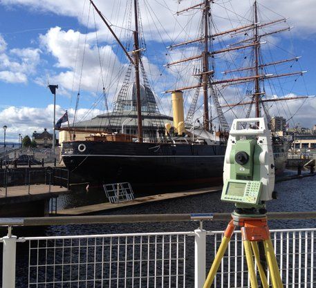
Inshore Hydrographic Surveys
Professional land survey services in Dundee and throughout Scotland.
Expert hydrographic surveys
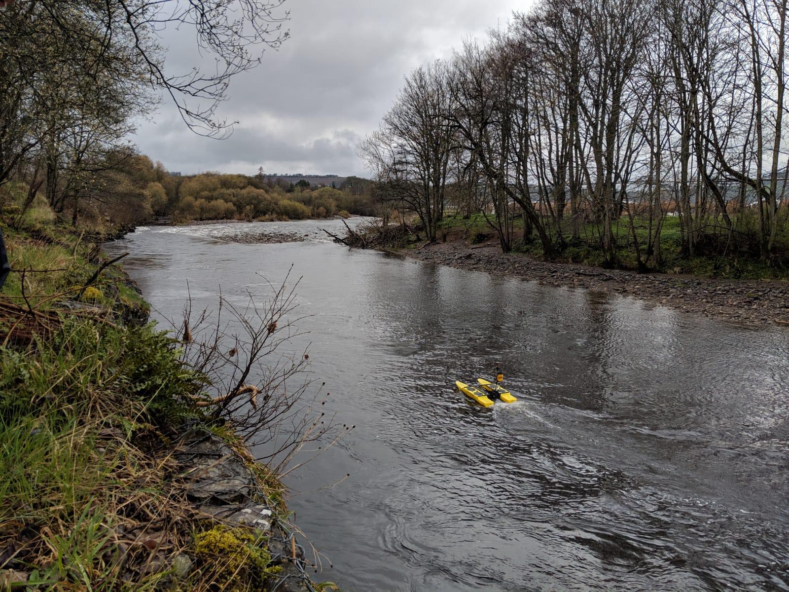
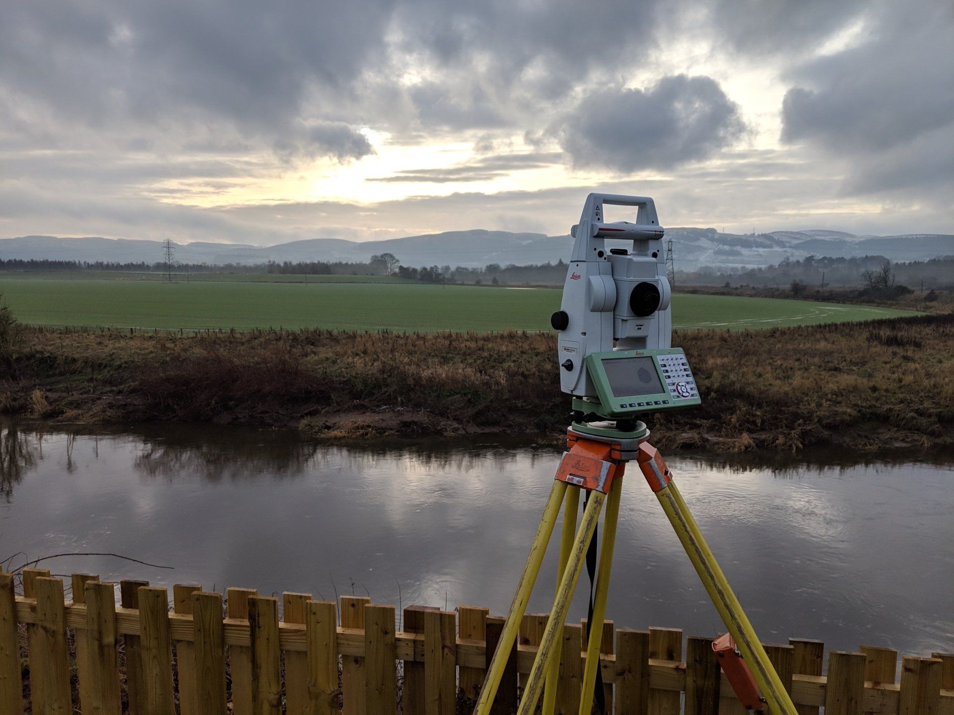
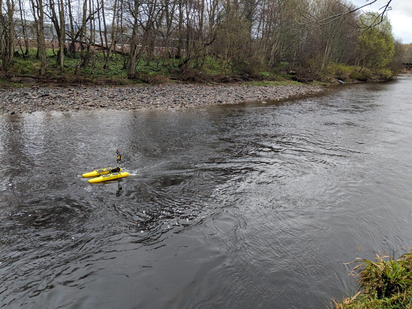
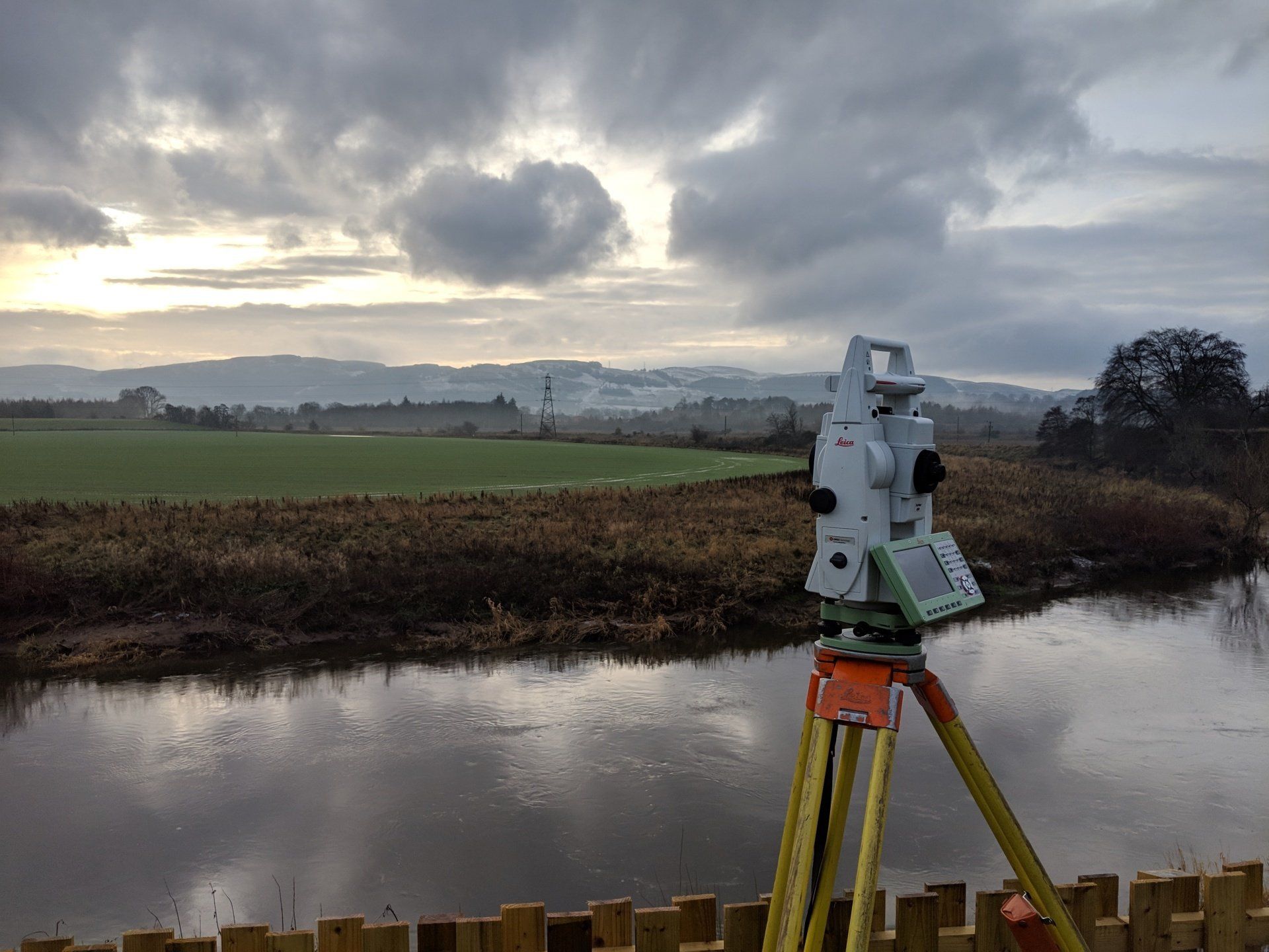
Hydrographic surveys are undertaken on reservoirs, lakes and rivers using a combination of depth sounding techniques linked to either shore based survey instrumentation or GPS satellite link, thereby ensuring that all depth readings can be located accurately in plan format, for subsequent data analysis.
Hydrographic data can be plotted in contour format, to assist in visualising depth, as a series of depth soundings or a combination of both.
Data can be output in either 2 dimensional or 3 dimensional AutoCAD or Genio format to assist in visualising the sub surface ground topography and, in addition, volumetric analysis can be undertaken, to calculate storage capacities or rates of silt deposition.
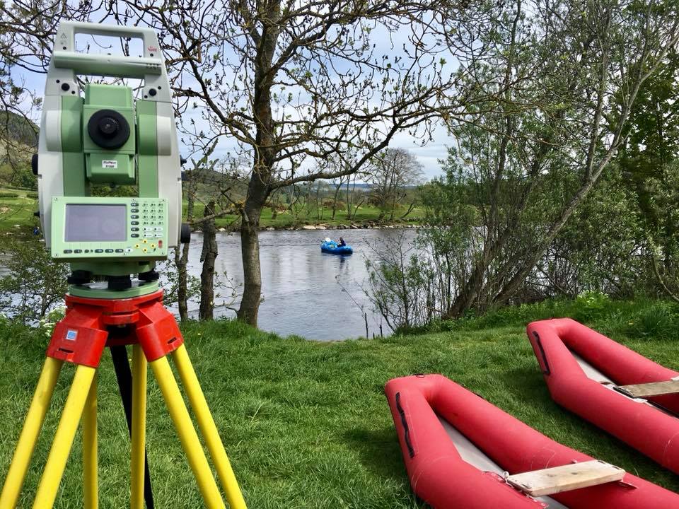
River surveys
When undertaking river surveys, cross sections can be generated and data submitted in either hard copy, CAD or spread sheet format, for subsequent analysis using flood modelling software.
In addition to a client base of local authorities and statutory authorities, we are providing this service on an increasing basis for private developers, who need to know the impact of any proposed development, when sited near rivers or on potential floodplains.
Contact us
today for any aspect of your inshore hydrographic requirements.
For all your inshore hydrographic and river survey requirements, call our team in Dundee on
01382 541 333