Your Complete Land Survey Team
Title Deed Preparation
Title Deed Preparation
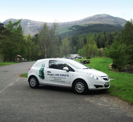
Professional land survey services throughout Scotland.
Title deed preparation solutions
Solicitors, developers and private individuals now require accurate title deed presentation to establish the exact extents of their property boundaries and, in cases where there may be a dispute, to resolve discrepancies in existing title deeds, where the exact boundary line is unclear or under discussion.
By using precise electronic survey methods, the existing site boundaries can be accurately established, for subsequent analysis and comparison with existing title documentation.
All post-survey data analysis is carried out using CAD bureau software which enables boundary discrepancies to be highlighted, for subsequent discussion and resolution between the various parties.
Professional services
By using CAD software, it is possible to highlight boundary discrepancies more easily than traditional scaling methods. Final data presentation, suitable for registration with the statutory authority, can then be produced in a wide variety of electronic formats as well as the more traditional paper formats.
Subsequent to resolution of the various boundaries, each boundary point or deviation in boundary line is assigned a two dimensional co-ordinate, to enable any boundary point to be easily and accurately re-established at any future time, thereby avoiding future boundary disputes or conflicts.
Contact us
today for any aspect of your boundary dispute or title deed requirements.
For all your boundary dispute or title deed requirements, call us on
01382 541 333
Follow us
© 2024. The content on this website is owned by us and our licensors. Do not copy any content (including images) without our consent.